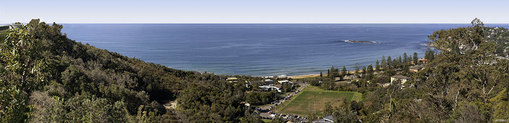
NEWPORT FLOOD STUDY
The draft Newport Flood Study was adopted at the August 2019 council meeting. The final report removed app 85 Newport residences from the present flood risk rating but added app 300 others. The NRA will have a presentation on the matter from the NBC staff in early 2020.
Information Sessions:
Learn what the draft study means for you. Book a 15 minute, one-on-one, information session with a flooding specialist. Sessions will be held during the following times:
- Tuesday 12 March, 11:30am – 3pm at the Newport Community Centre
- Monday 18 March, 4 – 7pm at the Mona Vale Memorial Hall Meeting Room
- Friday 22 March, 2 – 5pm at the Newport Community Centre
- Saturday 23 March, 9:30am – 1pm at the Newport Community Centre
Bookings are essential. Contact Patrick Stuart on 9976 1606 or email floodplain@northernbeaches.nsw.gov.au(External link)
Having your say:
- Online
- In writing to the CEO, Northern Beaches Council, PO Box 82, Manly NSW 1655, marked ‘Submission – draft Newport Flood Study’
- By email – council@northernbeaches.nsw.gov.au(External link)
The study will be updated based on community feedback and presented to Council for adoption.
Comments close Tuesday 9 April 2019
What areas does the study suggest are at risk in Newport
(see summary brochure with map on the left) [look at the areas coloured blue & green]
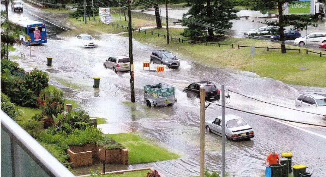
Also from the report, photos from the April 2012 event show significant inundation in the lower catchment,
including:
Barrenjoey Road
The intersection of Bramley Avenue and Ross Street
Yard inundation around Neptune Road.
Damaged fences around Nullaburra Road
Photos of the June 2016 event also show notable depths of inundation around the intersection
of Bramley and Ross Street.
